The Lab operates in the field of Geomatics: topography, photogrammetry and laser scanning. Research activities are focused on surveying and measurement in the field of architecture/archaeology and are particularly aimed at cultural heritage. The laboratory specialises in three-dimensional surveying in the archaeological field to support excavation operations, architectural surveying of complex architecture and environmental surveying with drone techniques. Other research topics are reality-based three-dimensional modelling on a large (1-20, 1:50) or very large scale (1:1), the creation of dedicated information systems to support building maintenance and conservation operations, BIM and HBIM, 3D GIS and cartography; structural monitoring (precision topography).
Topographical/celerimetric/GPS surveys carried out to: monitor the land and ground deformations; monitor large civil structures and cultural assets; to monitor the natural environment, man-made environment and natural resources. Panoramic images of waterfronts, image capture from PhotoGPS with the use of calibrated cameras (full format or others) and 3D texturing of panoramic images on topographical databases integrated with laser scanners in order to generate a range of images of the fronts in support of the risk maps, VIA and maps of intervisibility. Development of Geopanapp (applications for I-devices) to support projects based on volunteered information and living lab communities.
Photogrammetry and aerial photogrammetry
Aerial photogrammetry surveys using UAV technology. ground surveys of the land and the built environment and image processing.
Scanner technology
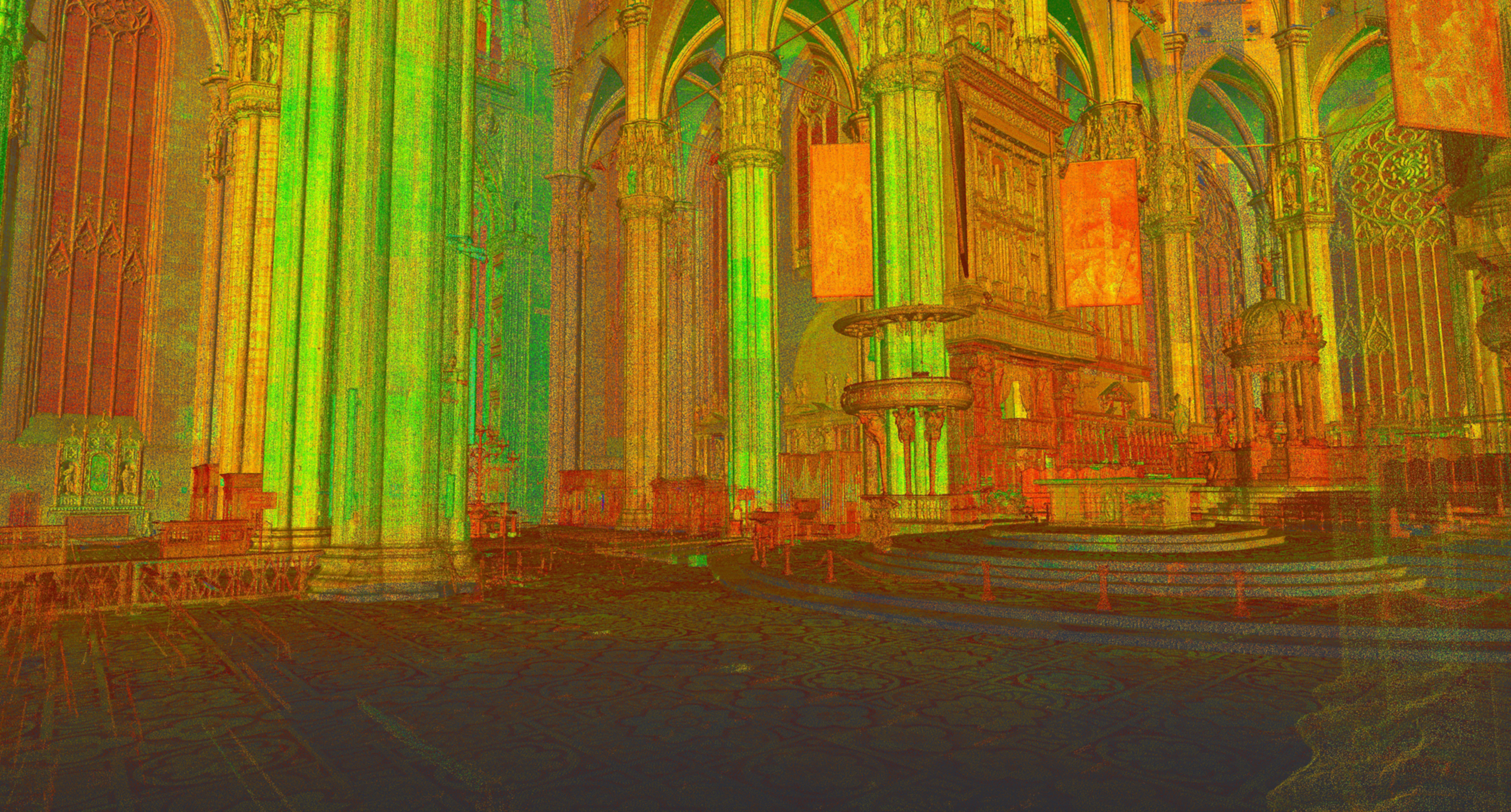
Three-dimensional surveys through the use of LiDAR sensors, terrestrial laser scanners and structured-light 3D scanners of complex architecture, sites, archaeological digs, the environment and small-scale objects. Use of data obtained for the simulation of scenarios and environmental monitoring.
Two- and three-dimensional representation
Drafting of designs on all scales, representations of architecture through the creation of digital models and realistic simulations by means of specialist software.