Consisting of the sections ‘Surveying and Modelling’ and ‘Surveying and Monitoring’, the Lab deals with the surveying and management of multi-scale three-dimensional data, from individual buildings to cartographic and satellite applications. It cooperates within international, national and regional projects. It designs and participates in the implementation of multi-scale surveys, BIM and GIS-WEBGIS modelling, geoportals of historical architectural heritage, Built Environment, historical and archaeological sites. It develops multidimensional environments based on the most modern generative modelling techniques, HBIM modelling based on generative processes able to maintain the accuracy of 3D surveying data (laser scanning and digital photogrammetry), interactive environments for Virtual and Augmented Reality (VR-AR) and development of add-ins for 3D modelling software.
Topographical/celerimetric/GPS surveys carried out to: monitor the land and ground deformations; monitor large civil structures and cultural assets; to monitor the natural environment, man-made environment and natural resources. Panoramic images of waterfronts, image capture from PhotoGPS with the use of calibrated cameras (full format or others) and 3D texturing of panoramic images on topographical databases integrated with laser scanners in order to generate a range of images of the fronts in support of the risk maps, VIA and maps of intervisibility. Development of Geopanapp (applications for I-devices) to support projects based on volunteered information and living lab communities.
Photogrammetry and aerial photogrammetry
Aerial photogrammetry surveys using UAV technology. ground surveys of the land and the built environment and image processing.
Scanner technology
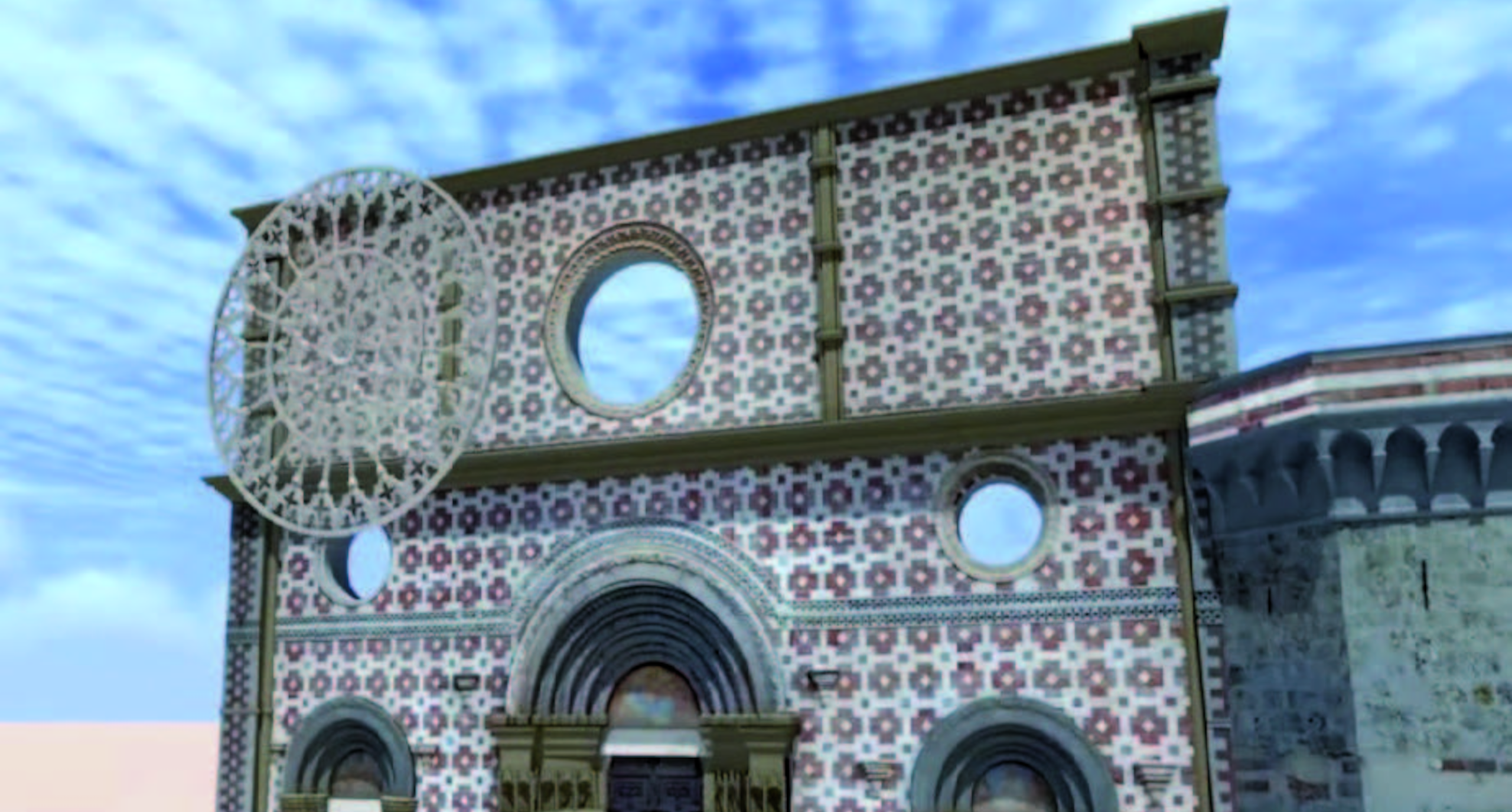
Three-dimensional surveys through the use of LiDAR sensors, terrestrial laser scanners and structured-light 3D scanners of complex architecture, sites, archaeological digs, the environment and small-scale objects. Use of data obtained for the simulation of scenarios and environmental monitoring.
Two- and three-dimensional representation
Drafting of designs on all scales, representations of architecture through the creation of digital models and realistic simulations by means of specialist software.